Skip to content

วัน: 14 พฤศจิกายน 2024

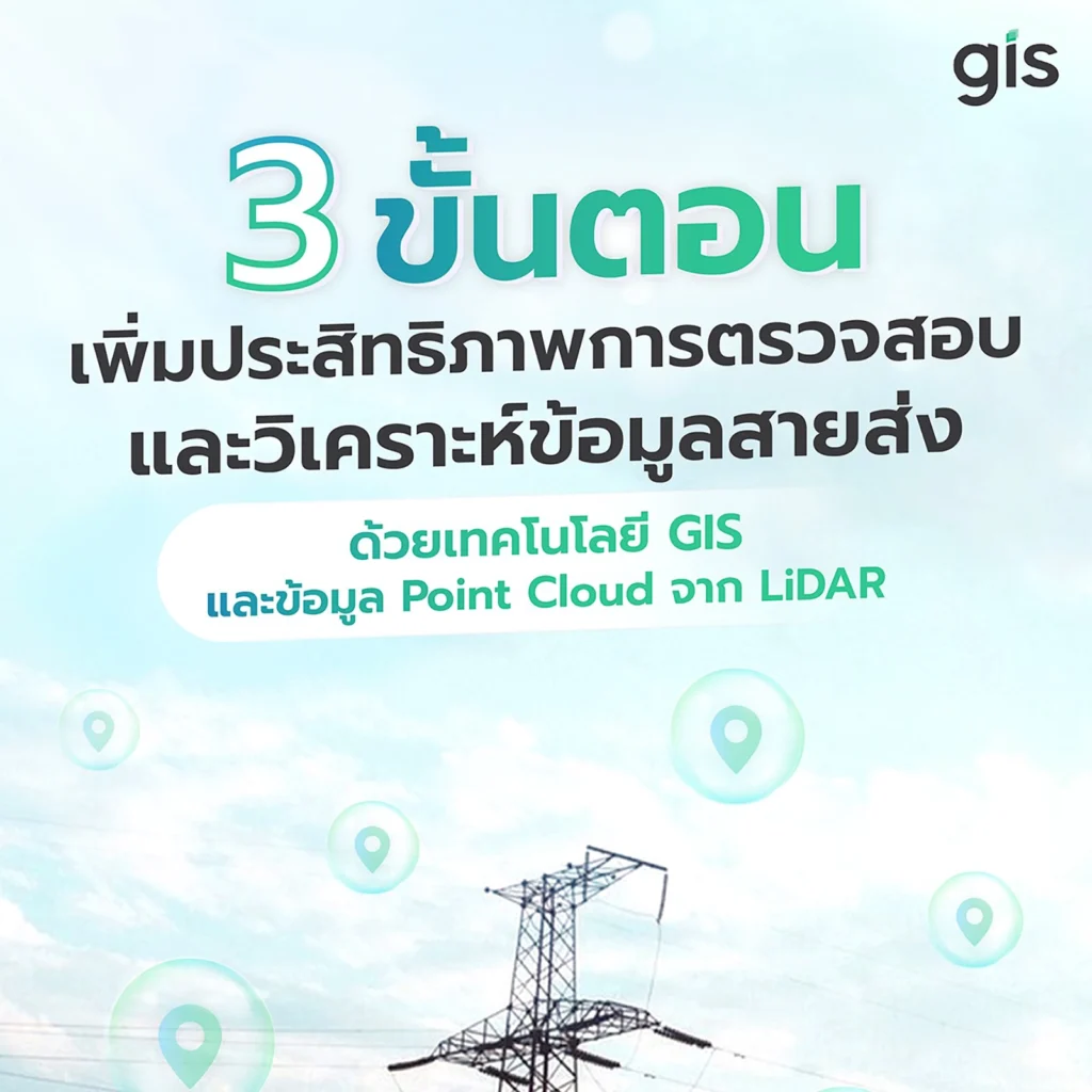
3 ขั้นตอนเพิ่มประสิทธิภาพการตรวจสอบและวิเคราะห์ข้อมูลสายส่งด้วยเทคโนโลยี GIS

อีกหนึ่งประโยชน์ของการใช้ข้อมูลภาพถ่ายหลายมุมมองจาก Dro […]

ผู้นำให้บริการระบบภูมิสารสนเทศแบบครบวงจร (Geographic Information Systems – GIS One Stop Services) ครอบคลุมตั้งแต่การให้บริการด้านที่ปรึกษา ออกแบบและติดตั้งระบบที่เกี่ยวข้องกับระบบภูมิสารสนเทศ (GIS System Integration)

  • Home
  • Products & Services
    • GIS System Integrations
    • Geosystems
    • Geospatial Mapping
    • Intelligent Transportation Platform
    • Lifestyles Products
  • News & Blog
  • Careers
  • About us
  • TH
    • TH
    • EN

All rights reserved