


Geosystems
Softwares
Leica Infinity
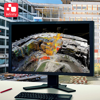
Leica Infinity Leica Infinity is the user-friendly geospatial office software suite for the measurement professional. It is designed to manage, process, analyse and quality check all field survey measure data, including total stations, digital levels, GNSS data and Unmanned Aerial Vehicles (UAVs).
Cyclone
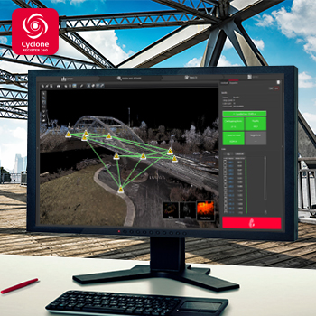
Leica Cyclone is the market-leading point cloud processing software. It is a family of software modules that provides the widest set of work process options for 3D laser scanning projects in engineering, surveying, construction and related applications.
Our Products
Softwares
Leica Infinity
Leica Infinity Leica Infinity is the user-friendly geospatial office software suite for the measurement professional. It is designed to manage, process, analyse and quality check all field survey measure data, including total stations, digital levels, GNSS data and Unmanned Aerial Vehicles (UAVs).
Cyclone
Leica Cyclone is the market-leading point cloud processing software. It is a family of software modules that provides the widest set of work process options for 3D laser scanning projects in engineering, surveying, construction and related applications.