
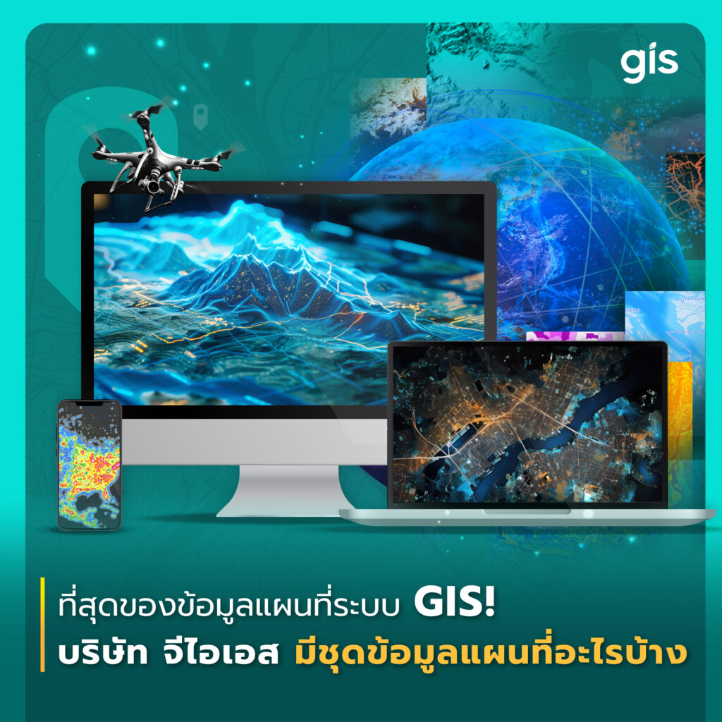
ที่สุดของข้อมูลแผนที่ระบบ GIS! บริษัทจีไอเอสมีชุดข้อมูลแผนที่อะไรบ้าง
ทำไมต้องใช้ข้อมูลแผนที่สำหรับเทคโนโลยี GIS องค์ประกอบสำคัญของระบบสารสนเทศภูมิศาสตร์ (Geographic Information Sysytem – GIS)
The leading service provider of Geographic Information Systems.
years
Years as a #1 Leader in GIS and Mapping Technology in Indochinese Region (CLMV)
Experts
Professional personnel and experts in GIS technology and surveying.
Organizations
Government agencies, state enterprises and private sectors
GIS System Integrations
The leading service provider of Geographic Information System – (GIS) One-Stop Services, offering a wide range of services including consulting, designing, and implementing Geospatial technology with GIS which can provide various solutions to accommodate all business needs as well as after-sales maintenance services.
Geosystems
GIS Co., Ltd. is an authorized distributor for sales and sole provider of after-sales service in Thailand for Leica Geosystems, the leader in survey equipment from Switzerland, providing surveying equipment with high resolution, such as Total Stations, GNSS Systems, level camera (Digital Level), Laser Scanner, Processor Software, GIS Collector and Disto
Geospatial Mapping
Sales and service representative for aerial photogrammetry mapping solutions and remote sensing programs.
Intelligent Transportation Platform
One Stop Professional Logistics IT Solutions & Platform. Professional transportation and logistics management system, with high definition map, outstanding and is widely accepted by leading companies, as the System provides more functions than general vehicle tracking.
Lifestyle Products
Start a more active lifestyle with innovative devices, Garmin, designed features a look to fit your lifestyle – health and fitness, sport, and outdoor recreation. Garmin smartwatch or device is your smart partner made for different activities to support your every goal with cutting-edge technology, modern design, and smart features. Train purposely and effectively for your daily activities with every step of the way. New! QAIS, an air purifier eliminates pet odors with innovative Photocatalytic technology – PiCTECH to suppress odors, viruses and bacteria in the air with no filter.

ทำไมต้องใช้ข้อมูลแผนที่สำหรับเทคโนโลยี GIS องค์ประกอบสำคัญของระบบสารสนเทศภูมิศาสตร์ (Geographic Information Sysytem – GIS)

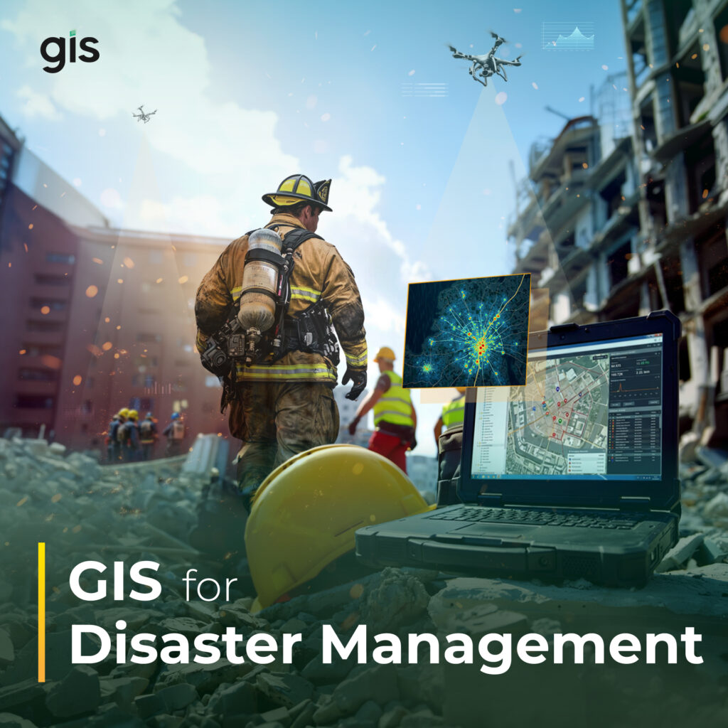
สาธารณภัยและภัยพิบัติไม่ว่าจะเกิดจากธรรมชาติหรือการกระทำของมนุษย์ย่อมก่อให้เกิดความสูญเสียและความเสียหายต่อชีวิตและทรัพย์สิน รวมถึงส่งผลกระทบต่อความเป็นอยู่ของประชาชน เศรษฐกิจ สังคม และโครงสร้างพื้นฐานของประเทศ ดังนั้นการเตรียมความพร้อมในการบริหารจัดการสาธารณภัยและภัยพิบัติ จึงจำเป็นต้องอาศัยข้อมูลที่แม่นยำ การวิเคราะห์สถานการณ์อย่างรวดเร็ว และการตัดสินใจที่มีประสิทธิภาพ เพื่อการประเมินและรับมือสถานการณ์ได้ทันท่วงที ป้องกันและลดความเสี่ยงในความสูญเสียร้ายแรง ตลอดจนการฟื้นฟูคืนกลับได้ในระยะเวลาที่รวดเร็วและมีประสิทธิภาพ “Disaster” “ภัยพิบัติ” “สาธารณภัย” คืออะไร? Disaster ในบริบทของประเทศไทยได้ให้ความหมายเทียบเคียงด้วยคำภาษาไทยทั้งคำว่า “ภัยพิบัติ” และ “สาธารณภัย” โดยคำว่า “ภัยพิบัติ” ให้ความหมายเช่นเดียวกับคำอธิบายตามแนวทางสากล ภัยพิบัติ หมายถึง การหยุดชะงักอย่างรุนแรงของการปฏิบัติหน้าที่ ของชุมชนหรือสังคมอันเป็นผลมาจากการเกิดภัยทางธรรมชาติหรือเกิดจากมนุษย์ ซึ่งส่งผลต่อชีวิต ทรัพย์สิน สังคม เศรษฐกิจ และสิ่งแวดล้อมอย่างกว้างขวางเกินกว่าความสามารถของชุมชนหรือสังคมที่ได้รับผลกระทบดังกล่าวจะรับมือได้โดยใช้ทรัพยากรที่มีอยู่ (กรมป้องกันและบรรเทาสาธารณภัย,

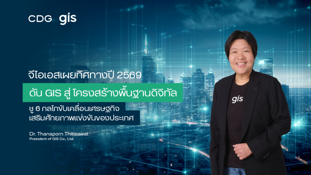
บริษัท จีไอเอส จำกัด ผู้นำด้านการให้บริการระบบสารสนเทศภูมิศาสตร์แบบครบวงจร ในกลุ่มบริษัทซีดีจี เปิดเผยกลยุทธ์ปี 2569 เดินหน้าตอกย้ำผู้นำเทคโนโลยี

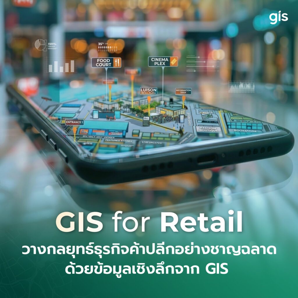
กำลังมองหาโซลูชันเพื่อขยายธุรกิจค้าปลีกของคุณอยู่ใช่ไหม? ลองเปลี่ยนข้อมูลในมือให้เป็นพลังในการตัดสินใจที่ชาญฉลาดด้วยเทคโนโลยีระบบ GIS ปัจจัยสำคัญในการจัดการธุรกิจค้าปลีกยุคใหม่ อะไรคือสิ่งสำคัญที่ธุรกิจค้าปลีกต้องคำนึงถึงเพื่อกำชัยชนะ? ธุรกิจค้าปลีกเป็นหนึ่งในธุรกิจที่มีการแข่งขันสูง และความได้เปรียบมักจะมีความสัมพันธ์กับทำเลที่ตั้ง อย่างไรก็ตาม
GIS Co., Ltd.
202 CDG House Nanglinchi Rd., Chongnonsee, Yannawa, Bangkok 10120
© 2022 GIS Co., Ltd. ALL Rights Reserved.