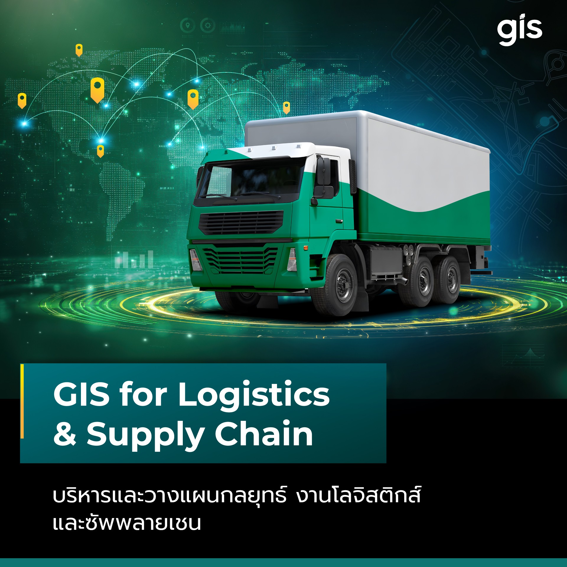
Geographic Information System (GIS) technology empowers spatial data management for transportation and logistics operations. It maximizes efficiency and minimizes transport costs through advanced network analysis, route planning, fleet management, and shipment tracking.
Logistics Optimization & Supply Chain Management
Streamline Transportation and Supply Chain Operations Leverage mapping data and GIS technology to optimize transport efficiency and minimize operating costs.
Facility site selection and network design (e.g., factories, warehouses, and distribution centers).
Service area delineation and catchment analysis for warehouses, stores, and individual branches.
Delivery zone assignment and territory optimization for each distribution hub.
Cost-effective route optimization and transport planning.
Distance and fuel consumption estimation and calculation.
Fleet Management
& Shipment Tracking
Manage and Track Shipment Status Seamlessly– Streamline daily transportation activities to ensure smooth operations through real-time GPS tracking integrated with GIS mapping.
Transport scheduling, trip dispatching, and timetable management.
Real-time shipment tracking comparing planned schedules against live vehicle statuses.
Exception alerts and anomaly detection (e.g., route deviations, extended idling, or delivery delays).
Historical trip data logging and archiving.
Read Related Articles
บริหารและวางแผนกลยุทธ์งานโลจิสติกส์และซัพพลายเชน ด้วยเทคโนโลยีระบบ GIS (GIS for Logistics & Supply Chain)
เทคโนโลยีระบบสารสนเทศภูมิศาสตร์ หรือ ระบบ GIS (Geographic Information System) เป็นพื้นฐานสำคัญที่ช่วยเปลี่ยนโลกของงานโลจิสติกส์และซัพพลายเชนให้สามารถใช้ข้อมูลแผ…